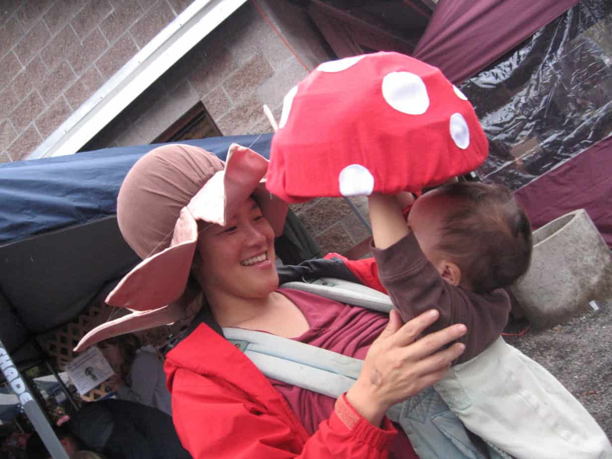
Mushroom Class at Alsea Falls Saturday, October 31
Bureau of Land Management (BLM) Botanist, Ron Exeter, will be hosting an informative mushroom identification discussion at BLM’s Alsea Falls Recreation Site on Saturday, October 31. Participants will learn how to identify many edible mushrooms, including chanterelle mushrooms, and will be provided suggestions on where to find them.
The discussion will begin at 10:00 a.m. and again at 1:00 p.m. Participants are encouraged to bring fungi to the free class to add to the display.
Alsea Falls Recreation Area
Season Dates: May 1 – October 31
Fees: $12/night per campsite w/$5 additional vehicle fee $3 per vehicle for day use site.

Alsea Falls Recreation Area is nestled along the South Fork Alsea River National Back Country Byway, between the small communities of Alsea and Alpine. The Alsea Falls Recreation Area offers 16 overnight camp sites and 22 day use sites along the pristine South Fork Alsea River that is located in a lush coastal forest. The campground and day use site offers potable water, tent pads, fire rings, picnic tables, and vault toilets.
The Alsea Falls Recreation Area also offers hiking trails that will provide you with a scenic hike through the forest and to several waterfalls. The Fall Creek Trailhead is located within minutes from the campground by bike. The Fall Creek Trailhead is a mountain-bike specific, single track, downhill system that has 6.5 miles of forested adventure for all skill levels. The inspiration for the Fall Creek Trail System design came from the internationally known and popular Sandy Ridge Trail System. For more information on the Fall Creek Trailhead go to the Alsea Falls Trail System website or call 503-375-5646.
Brochures
- Alsea Falls Back Country Byway

- Alsea Falls
 >
>
Related Websites:
- Alsea Falls Recreation Area Planning Efforts
- Alsea Falls Trail System
Directions:
East access: From Corvallis, take Hwy 99W south 15 miles. Turn west on Alpine Road and drive to the town of Alpine. Continue along Alpine Road 9 miles to Alsea Falls Campground. Just past campground, turn left on Fall Creek Road.
West access: travel Hwy 34 south from Philomath to the town Alsea. Turn south, travel on Alsea Deadwood Hwy 1 mile to the South Fork Road which then connects with the South Fork Alsea Access Road. Just past the Alsea Falls picnic area, turn right on paved Fall Creek Road.
About the BLM:
The BLM manages more than 245 million acres of public land, the most of any Federal agency. This land, known as the National System of Public Lands, is primarily located in 12 Western states, including Alaska. The BLM also administers 700 million acres of sub-surface mineral estate throughout the nation. The BLM’s mission is to manage and conserve the public lands for the use and enjoyment of present and future generations under our mandate of multiple-use and sustained yield. In Fiscal Year 2014, the BLM generated $5.2 billion in receipts from public lands.


